Mangearstadh (or Mangursta in simple English) lies on the Uig peninsula in the far west of the Isle of Lewis. It could be described as the second last place with a name, on a long dead-end single track road.
Here it is on Google Maps
I parked at the junction that you can see splitting off the “main road” on the south side of the bay. (Like nearly all the roads in the Outer Hebrides, it is single-track) where there is space for 2 or 3 vehicles. The track that you can see going towards the bay is only for 4-wheel drives so I walked down that track to the beach. Incidentally, with typical Scottish dry humour, there is a sign half way down the track declaring “4 wheel drives only past this point”, but there’s nowhere to turn around, so the sign would be better placed at the top of the hill, to save drivers from reversing uphill on a rough track.
This is the view as the track turns a bend.


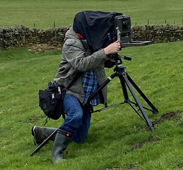
My photo session at Mangearstadh was cut short by an incoming tide, combined with some technical difficulty with the removable film back on my Mamiya RZ67 camera. I could have gone back to the car for a different camera, but I knew that by the time I returned, the rocks I wished to photograph would be covered.
It’s usually best to photograph coastal locations when the tide is going out; although the wave action will be a little less vigorous, it’s safer because you won’t get cut off, and also sand at the waters edge will be unspoilt by footprints.
